


Finding Your Place — Literally and Figuratively
The Map is a series about civic geography. Not the kind you print on paper — the kind that tells you who's in charge of the road in front of your house, who calculates your property taxes, who runs your water, and who you call when something goes wrong.
The map was never designed to be read at a glance. It grew up in layers — county here, city there, special districts in between — with no single plain-language guide that says: here is who governs what, here is how to find them, here is what to do.
The Map is that guide — eight episodes at a time.
The Episodes
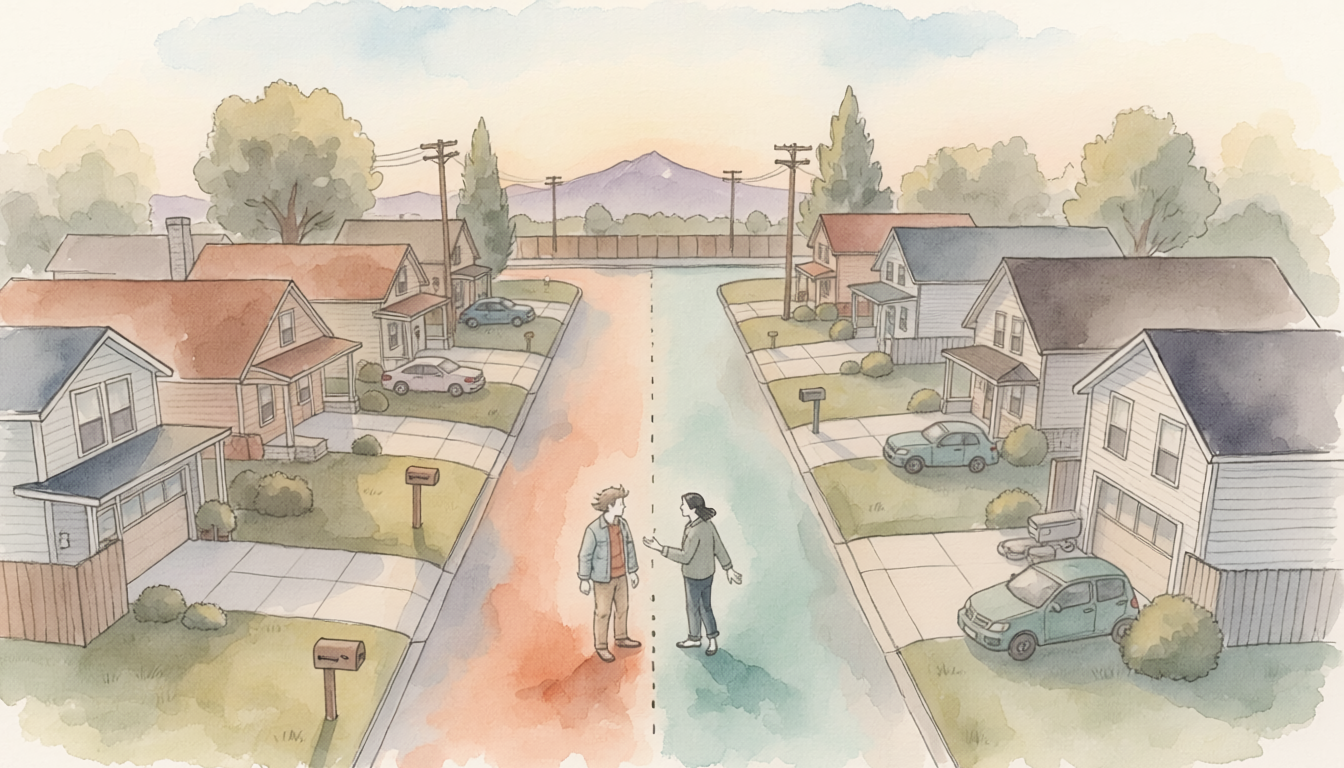
Each episode follows the same thread: a person trying to find something in their county. What they find instead — the wrong door, the unlabeled hook, the handle someone built on a Sunday afternoon — is the series.

Three Minutes or More
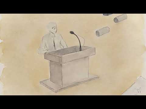
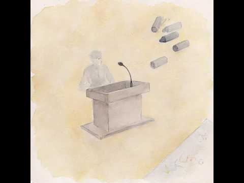
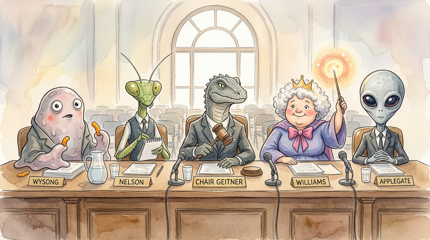
You get three minutes at a public meeting. You can ask for more. Here is how to use that time well.
This four-part mini-series follows residents who arrive at El Paso County and Colorado Springs meetings prepared — with data, with context, with something concrete to offer. The rooms that run on three-minute testimony are ready for someone who walks in with a fourth minute and a plan.

When your name is called for public comment, you get three minutes. If you need more, say so at the start: "I'd like to request additional time if the board permits." Chairs can grant it — and it helps to come with something concrete to offer.
The action guide has specific language for BOCC and city council testimony, including how to submit written materials in advance so your time at the mic builds on the record rather than starting from scratch.
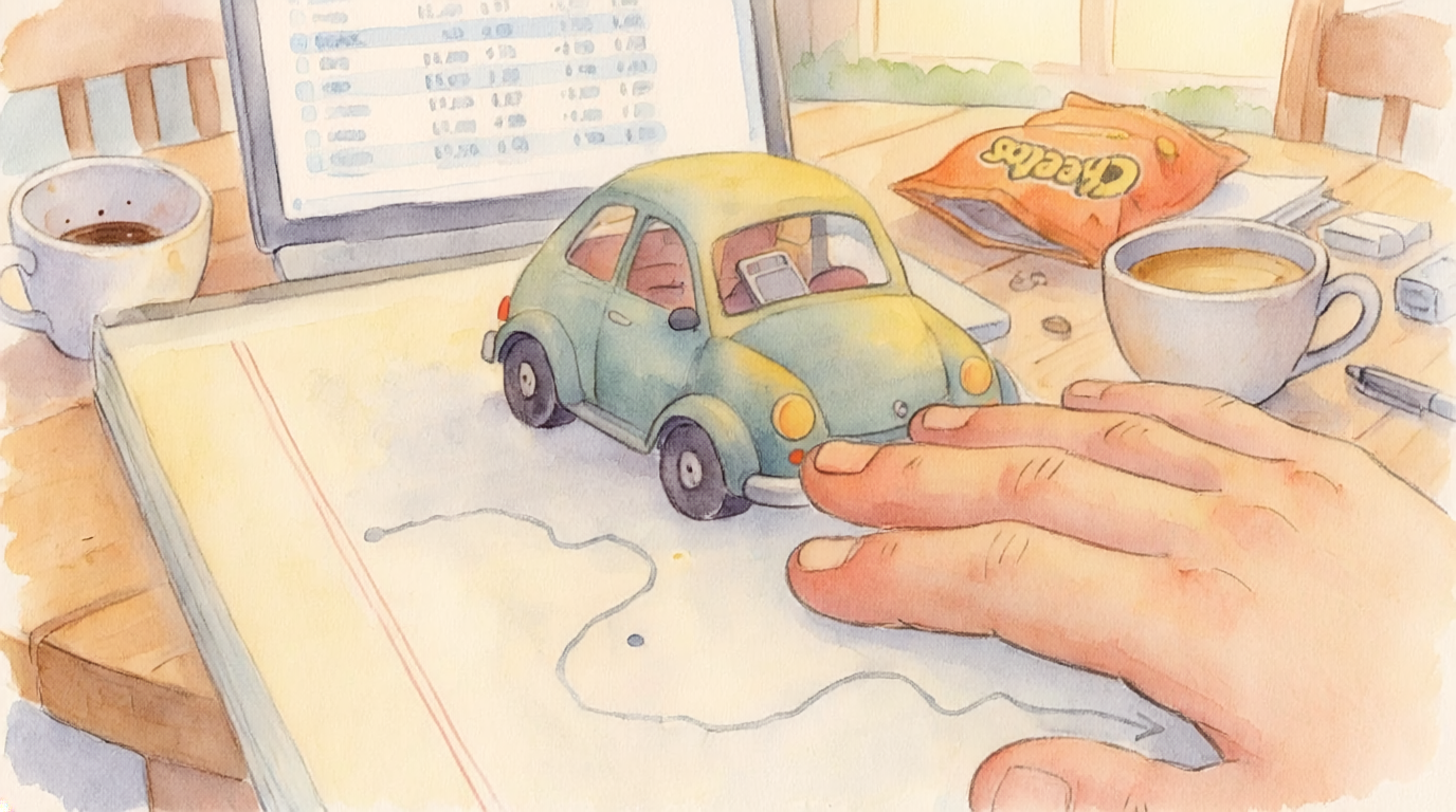
Find Your Place on the Map
Two working prototypes. Both built by residents. Both accessible. Both free. Type your address — find out who governs what, who to call, and which door to actually knock on.
The Guides
The series comes with guides. Some tell you how things work. Some tell you what to do and who to call. All of them are designed to make showing up easier.
The Map Applies to Everyone
Clara Spiraltree has used a screen reader for eleven years. She is faster with it than most people are with their eyes. The El Paso County assessor's website wasn't built to work with it — and that's a solvable problem.
This is not a niche problem. Approximately 14,000 El Paso County residents use assistive technology. Every government website that meets WCAG 2.1 AA is a door that opens for all of them.
ADA Title II now explicitly requires digital accessibility from local governments. The federal deadline is April 24, 2026. El Paso County and the City of Colorado Springs have both the legal requirement and a clear path to get there.
Five critical failures on coloradosprings.gov/CORA — the page where residents exercise their legal right to public records. All five were found in the live HTML source. Estimated fix time for all five: three hours of developer time.
The most impactful: every accordion button on the page says aria-expanded="true" even when closed. A screen reader user hears every section announced as already open before they touch anything.
The formal findings notice — with exact failing code, exact fixed code, and WCAG citations — is in the action guide.
The Map is not an adversarial project. The prototypes are not complaints. They are offers — this is what it could look like, here is how much it would cost, here is who to call.
The map works better when everyone can read it.
Send Us What You Find
A WAVE screenshot. A response email. A phone call log. A timestamp on a page before it changes. You are a source. The things you find when you run the audit yourself are the things we cannot see from here.
If you record something, grab something, or notice something — send it to us.
Or email directly: hello@storyseedstudios.com